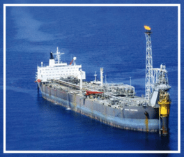
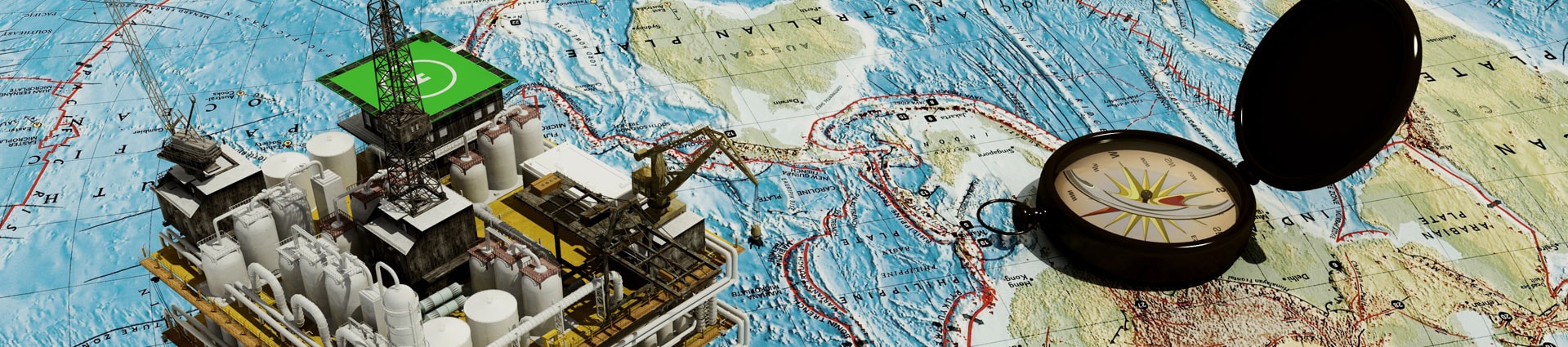
Offshore Exploration
Amplified Geochemical Imaging Surveys can be performed in any water depth from meters to thousands of meters. It is one of the few exploration techniques that are economical to run in transition zones. Collection of cores in a grid pattern over a block or prospect will allow petroleum phase imaging of the reservoir. Alternatively, AGI Surveys can be used to target macroseeps and seabed features to indicate a petroleum system offshore.
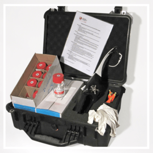
Our high sensitivity data fills in the normal data gap between C6 and C15 found in conventional macroseepage studies, and reduces the risk that you will miss the seabed feature. Our slick sampling system is the easiest to use in the industry and the most sensitive to very thin slicks.